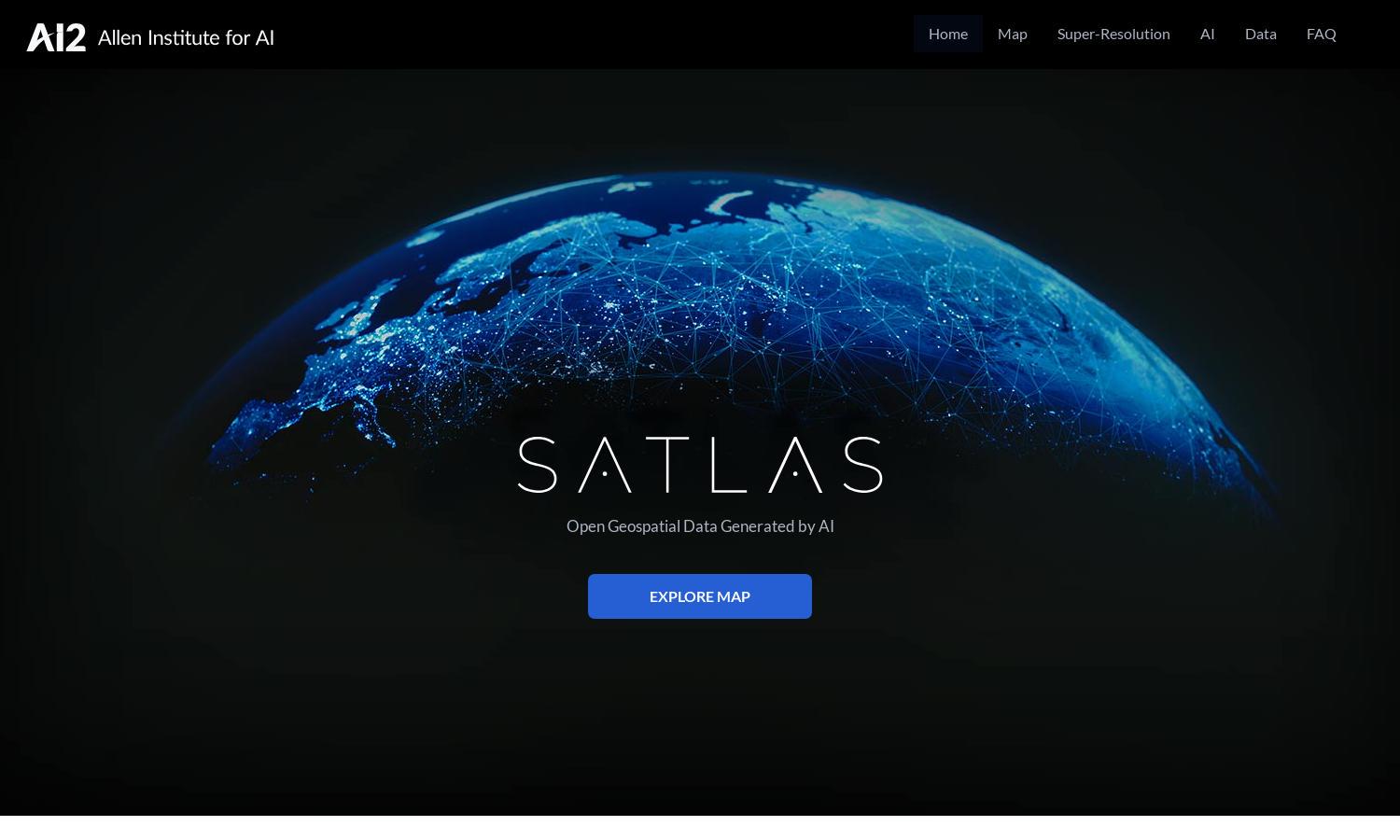
Satlas

About Satlas
Satlas is a cutting-edge platform designed for researchers, environmentalists, and policymakers, focusing on the rapid changes happening globally. It harnesses AI technology to analyze satellite imagery, making it easier to visualize important shifts in infrastructure and natural resources. The innovative super-resolution feature ensures high-quality visual insights.
Satlas offers various pricing plans that cater to different needs, from free access to premium subscriptions. Each tier provides unique value, such as advanced datasets and enhanced analytical tools. Upgrading offers users deeper insights and access to exclusive features, driving better decision-making and exploration.
The user interface of Satlas is designed for intuitive navigation, ensuring a seamless experience. With an organized layout, users can effortlessly access AI-enhanced satellite imagery and data tools. Unique features enhance user engagement, making it simple to visualize geospatial changes and insights without technical hurdles.
How Satlas works
Upon visiting Satlas, users can easily sign up and explore a rich library of AI-annotated satellite imagery. They can navigate through various datasets concerning marine and renewable energy infrastructure, upgrade to super-resolution images for detailed analysis, and download essential data for offline study, empowering them with vital insights.
Key Features for Satlas
AI-Enhanced Satellite Imagery
Satlas offers AI-enhanced satellite imagery, allowing users to visualize changes in the planet effectively. This dynamic feature utilizes advanced AI models to annotate and analyze satellite data, providing unparalleled insights into environmental and infrastructural evolution.
Super-Resolution Technology
Satlas employs super-resolution technology to transform low-resolution satellite imagery into high-quality visuals. This feature significantly enhances users' ability to discern fine details, making it an invaluable tool for researchers and analysts interested in environmental changes.
Publicly Available Geospatial Datasets
Satlas provides publicly available geospatial datasets for free, enabling users to download vast amounts of data for offline analysis. This unique offering ensures accessibility and fosters collaborative research, benefitting a wide range of professionals in environmental studies.
You may also like:


